If you dream of stepping onto a trail from your front door, Portola Valley rewards you with a rare mix of open-space living and Silicon Valley proximity. The town’s bridle paths, scenic preserves, and quiet lanes make daily hikes, rides, and runs part of your routine. The key is understanding where access is truly public, which trails fit your lifestyle, and what to verify before you buy. Below, you will learn how the local trail system works, which areas tend to shine for easy access, and a practical buyer checklist to use on every showing. Let’s dive in.
How trail access works
Portola Valley is surrounded by protected open space with a patchwork of land managers. The Midpeninsula Regional Open Space District manages nearby preserves and publishes maps, parking details, and user rules for dogs, bikes, and horses. You can review permitted uses and current conditions on the Midpen website to plan outings and confirm what is allowed where. Visit the Midpeninsula Regional Open Space District site for preserve pages and maps.
The Town of Portola Valley maintains its own network of neighborhood trails and bridle paths that link communities to trailheads. These short connectors make daily walks and runs easier, and they often bridge the last stretch to a preserve. Explore the town’s trail resources via the Town of Portola Valley website.
Not all scenic open space is open to the public. Stanford’s Jasper Ridge Biological Preserve borders parts of the area but is a research preserve with restricted public access. If you see land labeled Jasper Ridge, assume limited access and plan public routes elsewhere. Learn more about access policies at Jasper Ridge Biological Preserve.
Adjacent parks can add options for longer loops and regional links. San Mateo County Parks manages nearby parks and trail segments that sometimes connect to town routes or Midpen preserves. For regional maps and park details, check San Mateo County Parks.
Neighborhood types that shine
Thinking in terms of property types, not strict neighborhood names, helps you match daily trail life to your address.
Ridge and Skyline edge
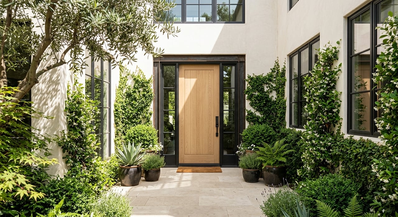
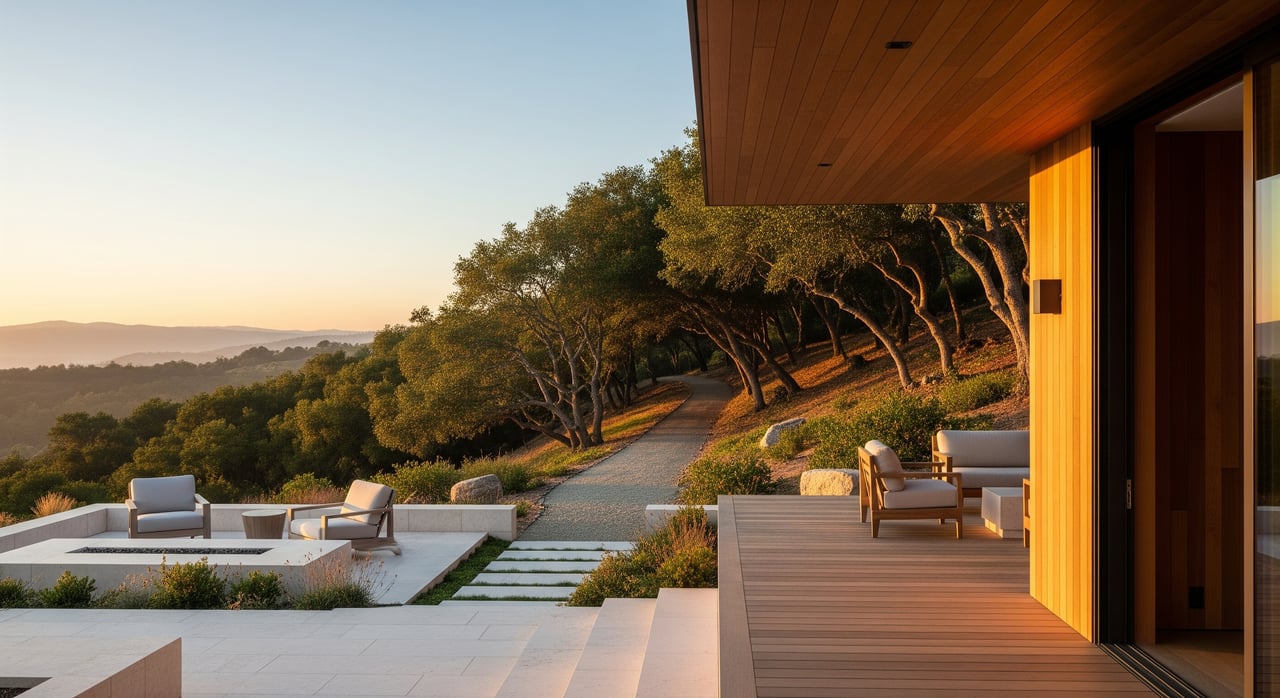
If you want immersive ridge hikes and long loops, properties near Skyline Boulevard typically offer the quickest reach to ridge-top trails and Midpen preserves. Lots here are often larger with steeper driveways and panoramic views. Equestrian buyers tend to find space for barns and arenas more often in this zone.
Mid-valley and town center
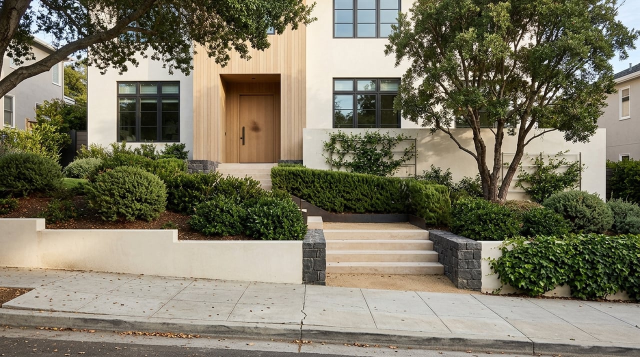
Homes along or near Portola Road and Alpine Road provide a walkable or very short drive to town trails and popular trailheads. Parcels are more gently rolling with a mix of lot sizes, which suits daily walk-and-run routines. Many streets intersect the town’s bridle paths, which helps equestrians reach designated routes without trailering.
Western foothills near preserves
On the west side, some properties sit close to Midpen trailheads and multi-use singletrack. The feel is more rural, with privacy and sometimes unpaved roads. If you want to ride off property or set out for a longer hike with minimal driving, this area is worth a close look.
Adjacent communities with continuity
Parts of Ladera, Woodside, and Los Altos Hills connect into the same web of trails and bridle paths. If you value access first, it can be smart to widen your search just beyond the town line. The practical experience can be similar while keeping your commute routes to Silicon Valley job centers intact.
Signature preserves nearby
Windy Hill Open Space Preserve
Windy Hill is a signature landmark with sweeping views and multiple trailheads that can be accessed from the ridge or from Portola Road and Alpine Road approaches. It offers a range of routes suitable for daily fitness, weekend loops, and scenic ridge time. For current maps, parking, and user rules, see the preserve pages at the Midpeninsula Regional Open Space District.
Monte Bello, Coal Creek, and nearby preserves
A short drive from many Portola Valley addresses, Monte Bello and its neighboring preserves provide longer ridge-and-canyon combinations that connect into the broader Midpen system. These areas are popular for half-day excursions with rewarding views. Review allowable uses and seasonal updates on the Midpeninsula Regional Open Space District site before you go.
Town trails and bridle paths
Portola Valley’s own trail network creates short loops and key connectors between homes and trailheads. These paths can transform a property from “close by car” to “daily walkable.” For official maps and any maintenance updates, visit the Town of Portola Valley.
Know where you can and cannot go
Jasper Ridge Biological Preserve is a research area with restricted public access. It provides beautiful views but is not a general-use trail system. Plan your hikes and rides on public routes instead, and verify access details at Jasper Ridge Biological Preserve.
Buyer checklist to verify
Use this list during online research and property tours so you understand the real, day-to-day access a home provides.
- Proximity and walkability
- Is your nearest public trailhead a 10 to 30 minute walk, or a short drive that depends on parking? If walkable, map the exact pedestrian route. Look at shoulders and crossings on Alpine Road or Portola Road and confirm there is a safe connector.
- Public vs private land next door
- Confirm whether the open space you see is a public preserve, private land, or institutional. If it borders Jasper Ridge, note the restricted access and identify alternate public trails nearby.
- Permitted uses for your activities
- Rules vary by preserve and trail. Before you rely on a route for horses, bikes, or off-leash fun, confirm the specific allowances on the Midpeninsula Regional Open Space District site and the Town of Portola Valley trail documents.
- Equestrian infrastructure and local rules
- If you plan to keep horses, review town codes on horse keeping and look closely at barns, stalls, arenas, paddocks, trailer parking, and water access on site. Verify driveway width and pullouts for safe trailer movement.
- Parking and peak use
- Signature preserves can fill early on weekends, which makes walkability or lesser-known access points valuable. If you will drive, test the lot at your typical outing time.
- Safety, hazards, and seasonality
- Portola Valley sits within a high-wildfire area. Study Fire Hazard Severity Zone maps and defensible space requirements through CAL FIRE. Ask about vegetation management, recent work on the property, and any local guidance on home hardening. Low-lying parcels may have creek setbacks or drainage needs, and some steep trails close after heavy rain.
- Commute and daily life tradeoffs
- Many addresses are close to Palo Alto, Menlo Park, and Redwood City by car, yet local roads can be narrow and winding. Test your route at commute times and confirm internet service options if you work from home.
- Insurance, road maintenance, and agreements
- Private roads often have maintenance districts or shared agreements. Ask for documentation and budget for dues. If you plan equestrian use, speak with your insurer early about coverage.
Showing-day tips
- Before the tour: Save the Midpen map for the nearest preserve and the Town of Portola Valley trail map to your phone. Mark the closest trailhead and your likely walking route.
- During the tour: Step outside, find the connector path, and time your walk to the trailhead. If you plan to ride, evaluate driveway width and trailer turnarounds.
- After the tour: Drive to the trailhead at a busy time to test parking. Scan the preserve page on the Midpeninsula Regional Open Space District site for seasonal updates and user rules.
Ready to explore your options
Finding the right Portola Valley home is about matching daily trail life to the address, not just admiring the view. When you pair the right preserve access with the right property features, your everyday routine becomes easier and more fulfilling. If you want a thoughtful plan to shortlist homes with true trail access and the right lifestyle fit, connect with Dana Rae Stone. Let’s talk about your home.
FAQs
Which areas offer the shortest walk to ridge trails in Portola Valley
- Ridge and Skyline-edge homes generally sit closest to ridge-top trailheads, while mid-valley addresses rely on town trails to reach preserves like Windy Hill.
Is Stanford’s Jasper Ridge open to the public for hiking
- No, Jasper Ridge Biological Preserve is a research area with restricted public access, so plan your outings on public routes published by Midpen and the Town of Portola Valley.
Where can I confirm horse, bike, and dog rules near Portola Valley
- Check the specific preserve pages and maps on the Midpeninsula Regional Open Space District site and review town trail information at the Town of Portola Valley.
How does wildfire risk affect Portola Valley homebuyers focused on trails
- Study Fire Hazard Severity Zone maps and defensible space guidance through CAL FIRE, then evaluate vegetation management, access, and home-hardening features during your property tour.
Do I need permits for horse facilities on a Portola Valley property
- Local zoning and town rules govern horse keeping, so verify requirements with the Town of Portola Valley and assess existing barns, stalls, arenas, setbacks, and trailer access on site.